

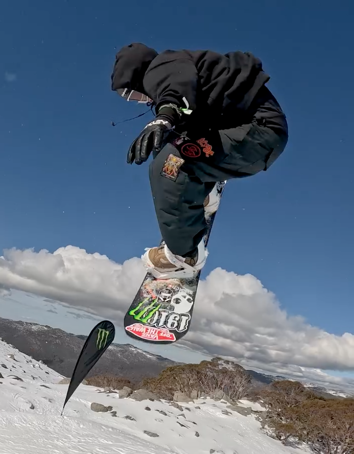
The Snowy Mountains are likely to receive much needed snowfall over the coming week, thanks to a promising weather forecast which includes cold southerly winds and a subsequent storm system. Reports from Weather Zone, the Australian Bureau of Meteorology (BOM), and Mountain Watch confirm a series of weather that will favour snow accumulation, just in time for the ski season’s commencement.
PHOTO: Winter ski season is just days away and much needed snow has been forecasted for the region just in time CREDIT: Thredbo Resort
A spokesperson for the BOM said, “A cold front will enter the far south of the state today bringing wintry conditions in its wake.” The change is forecast to drop temperatures enough to activate snow guns and see light snow flurries beginning tonight June 3, and into Wednesday, June 4 above 1100m.


PHOTO: Expected snow depth by Sunday June 8, 12pm AEST CREDIT: Windy
Decent snowfalls however, are forecast for the traditional winter season opening on Saturday June 7, and Sunday June 8, which are expected to be spurred by a storm system approaching from the southwest. As it moves in on Saturday, strong northwesterly winds are expected to contribute to substantial snow deposits across mid and upper ski slopes. The storm, expected to linger until Wednesday, promises to deliver reasonable snowfall for snow resorts across the area.
Breaking down expected snowfall, Thredbo, Perisher, Charlotte Pass, and Selwyn Snow Resorts are likely to witness welcome accumulation. Forecast charts reveal that over the next seven-day span, Thredbo could receive up to 46cm of snow. Meanwhile, Perisher might see close to 40cm, with Charlottes Pass expected to accumulate 45cm, and Selwyn Snow Resort hoping for around 35cm.
The combination of early flurries, cold night-time temperatures, and a promising storm system arriving over the weekend, has many hopeful the Snowy Mountains will transform just in time.