
At the ordinary Council meeting on Thursday February 20, Snowy Monaro Regional Council (SMRC) will bring to the agenda the DA outcome for the consolidation and formalisation of the Tyrolean and Mill Creek trail network surrounding Lake Jindabyne.
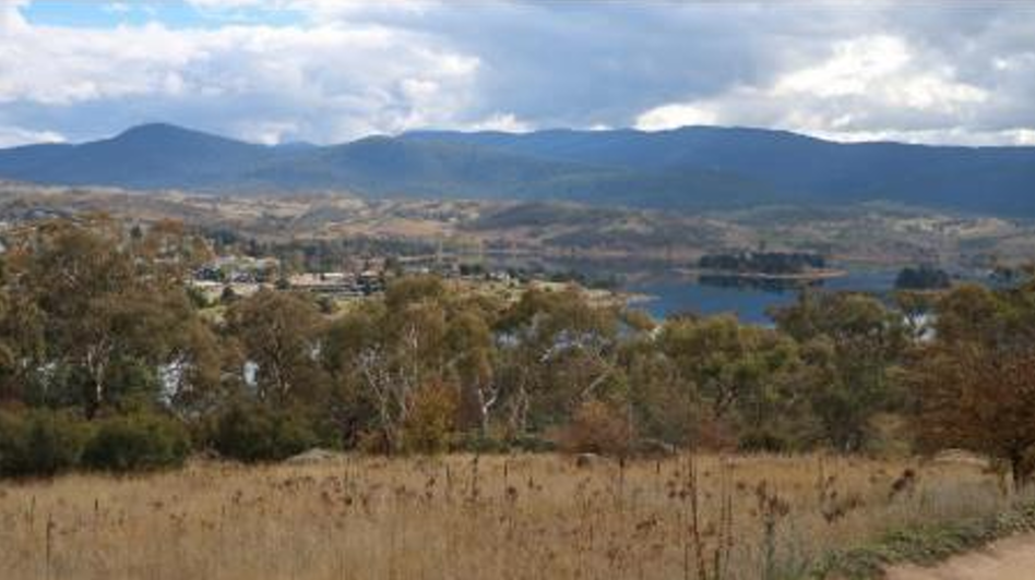
PHOTO: Shared trail network site.
The project is set to get the green light for a significant upgrade and expansion. The development will see 29 km of existing trails consolidated and refreshed, alongside new developments like the construction of a new car park off Rainbow Drive and associated amenities, aiming to address current parking limitations caused by increased visitor traffic.

PHOTO: Proposed amenities building plans.
The upgrades include 7.64 km of new trails, with a part dedicated to downhill flow tracks catering to riders’ preferences, and the renovation of 16.94 km of existing tracks. Additionally, 3.2 km of existing trails is set for rehabilitation and closure.
A spokesperson for the Jindabyne Trail Stewardship (JTS) who have been an integral part of getting the project off the ground said, “The JTS is very excited to see the Tyrolean Trails DA refurbishment upcoming vote.”
“This is a project the JTS fully supports and have been working with council on for many years. The whole community will benefit from this project through improved shared trails for walkers and riders as well as new trails for bike riders.”
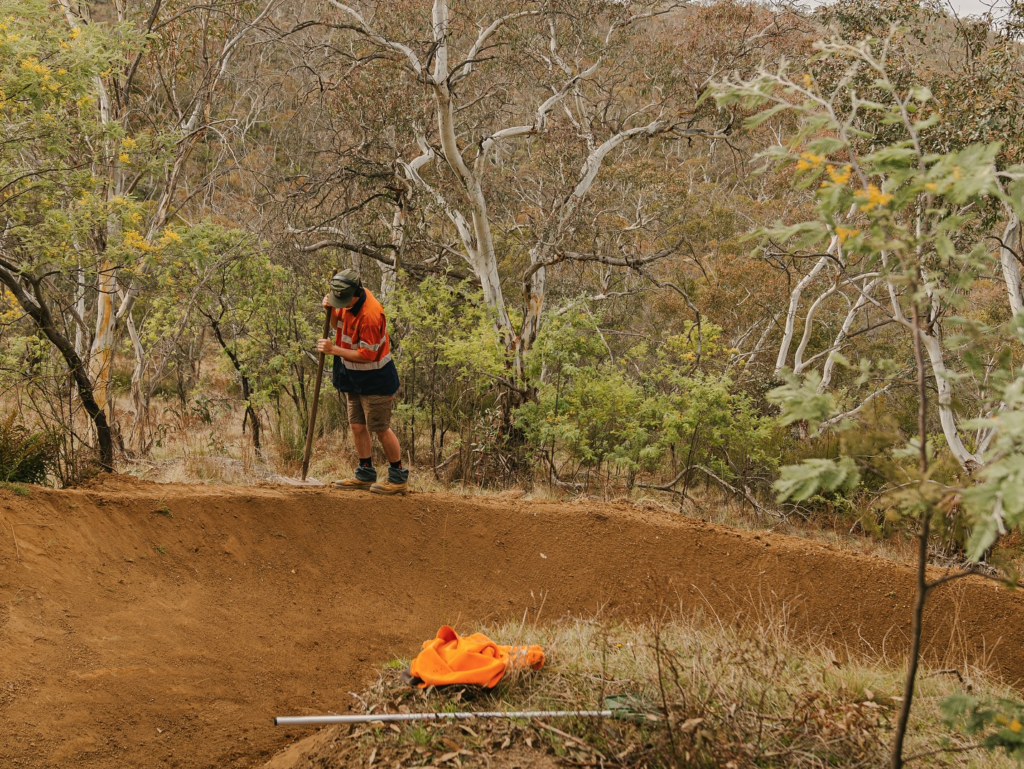
PHOTO: JTS is dedicated to the maintenance of trails. CREDIT: JTS
In what’s been a lengthy process, beginning as a concept plan in 2021, the development application has now satisfied the assessing officer that it complies with the provisions of the Snowy River Local Environment Plan 2013 (SRLEP) and the Snowy River Development Control Plan 2013 (SRDCP), and recommends that the application be approved with conditions.
The project has progressed through a number of considerations such as the need to reduce the operational footprint along trails, the management of increased traffic, and safety measures to deal with dual-direction trail conflicts.
The application was open for submissions for an extended 28 day period, during which time three submissions were received, one submission claiming the DA didn’t “clearly address the environmental impact”, highlighting tree removal, and degradation of open spaces as concerns.
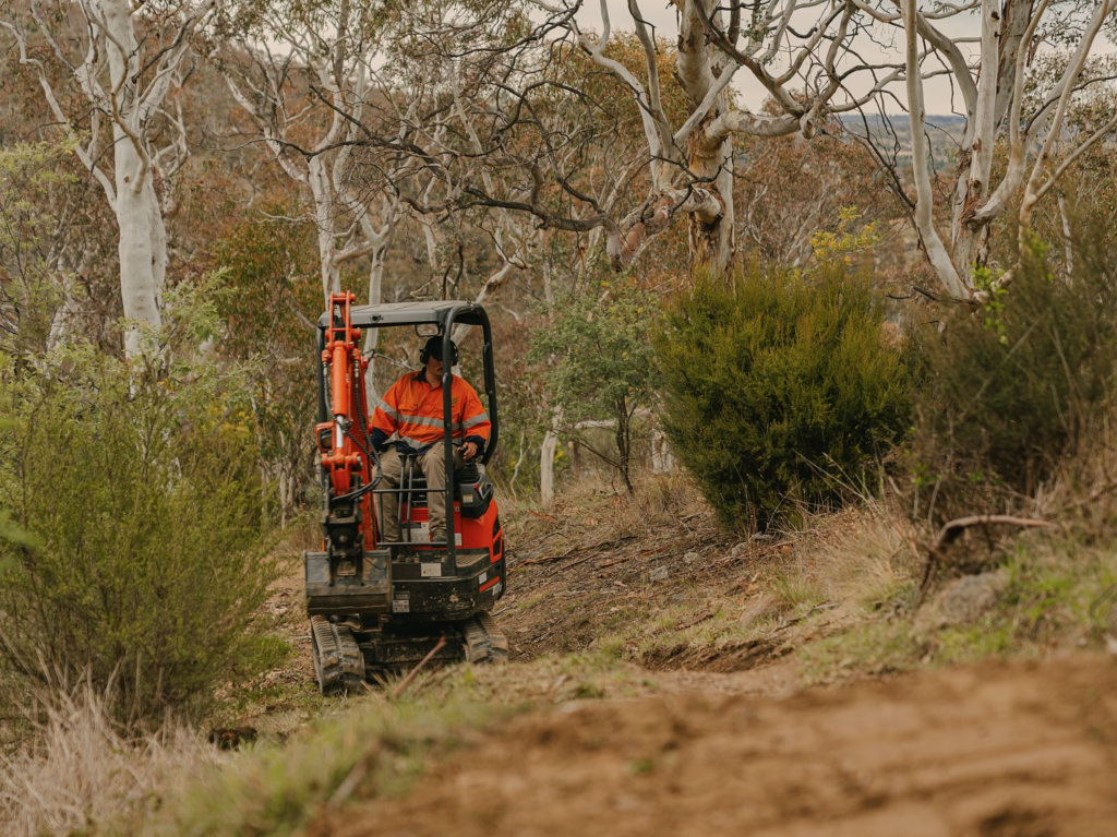
PHOTO: Maintenance of trail networks. CREDIT: JTS
The Assessing Officer found the application had provided the required reports and documentation including a Biodiversity Development Assessment Report, and that it had been reviewed by the Department of Biodiversity and Conservation, who provided a letter of concurrence and recommendation for conditions of consent.
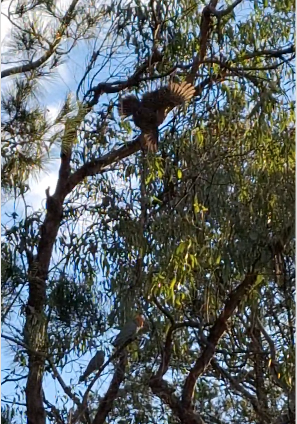
An environmental impact assessment identified several key considerations in the trail area such as significant riparian zones and areas of high biodiversity value. Potential impacts looked at included, the disruption of significant vegetation types, such as Snow Gum woodlands and habitats for threatened fauna species, including the Gang-gang Cockatoo and Scarlet Robin.
PHOTO: Threatened Gang-gang Cockatoo takes flight.
Under the State Environmental Planning Policy (SEPP) (Koala Habitat Protection) 2021, the SEPP requires that before granting consent for development on land over one hectare in area, a consent authority must be satisfied as to whether or not the land contains potential koala habitat, or core koala habitat.
Issues regarding Koala sightings and feed trees were addressed with the assessment finding the proposed application is “confined to narrow corridors”, and the development would have “minimal overall impact on vegetation”.
The assessment also noted that while there have been koala sightings to the east of the site, the development is “not expected to disrupt any feeding corridors.” The existing woodland areas will remain untouched, and would allow the koalas that live to the east to continue using these corridors if required.
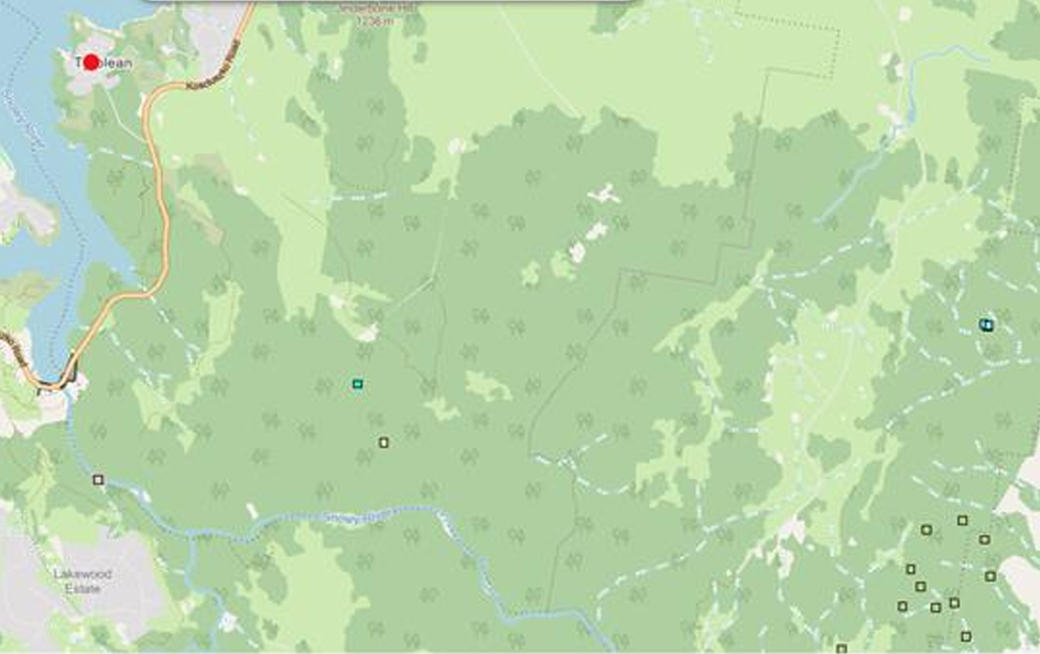
PHOTO: Koala sightings map.
An Aboriginal Cultural Heritage Assessment Report highlighted the presence of 20 heritage sites, necessitating the implementation of conditions to minimise disturbances during construction.
The study revealed various surface artefacts located along existing trails and several areas of potential archaeological deposits. Appropriate mitigation measures were suggested, with eight of the sites to be entirely avoided, ten facing partial impact, and two experiencing total impact due to the proposed activities.
The report found, once constructed, the trail network is not considered “likely to impact” on any tangible expressions of Aboriginal cultural heritage. General terms of approval were provided by the Department of Climate Change, Energy, the Environment and Water.
With these latest developments, the shared trail network is poised to become a key recreational highlight in the region, attempting to marry both progress, and ecological stewardship.